Spatial geometry
Building layouts, spatial bounds and 3D models.

Owners should receive an open, portable digital record of their building, alongside its plans and legal documents, for use with compatible systems of their choice.
P3DF (Portable 3D Format) combines spatial and operational information for robotics, smart homes and building management. The specification is evolving. Its public release will use Apache License 2.0.
Building layouts, spatial bounds and 3D models.
Objects, locations and semantic relationships.
Routes, access conditions and clearance constraints.
Time-series data linked to assets and spaces.
An exported P3DF is a point-in-time reference. The proposed cloud platform connects camera observations, time series and spatial information.
A .p3df package carries the scene, its relationships and embedded data. Share it, archive it, or hand it to another tool without requiring a connection to the original service.
manifest.jsonIdentity, version, checksumsscene.jsonSpaces, assets, relationshipsgeometry/Visual GLB geometrynavmesh/Navigation & clearancetelemetry/Arrow / Parquet history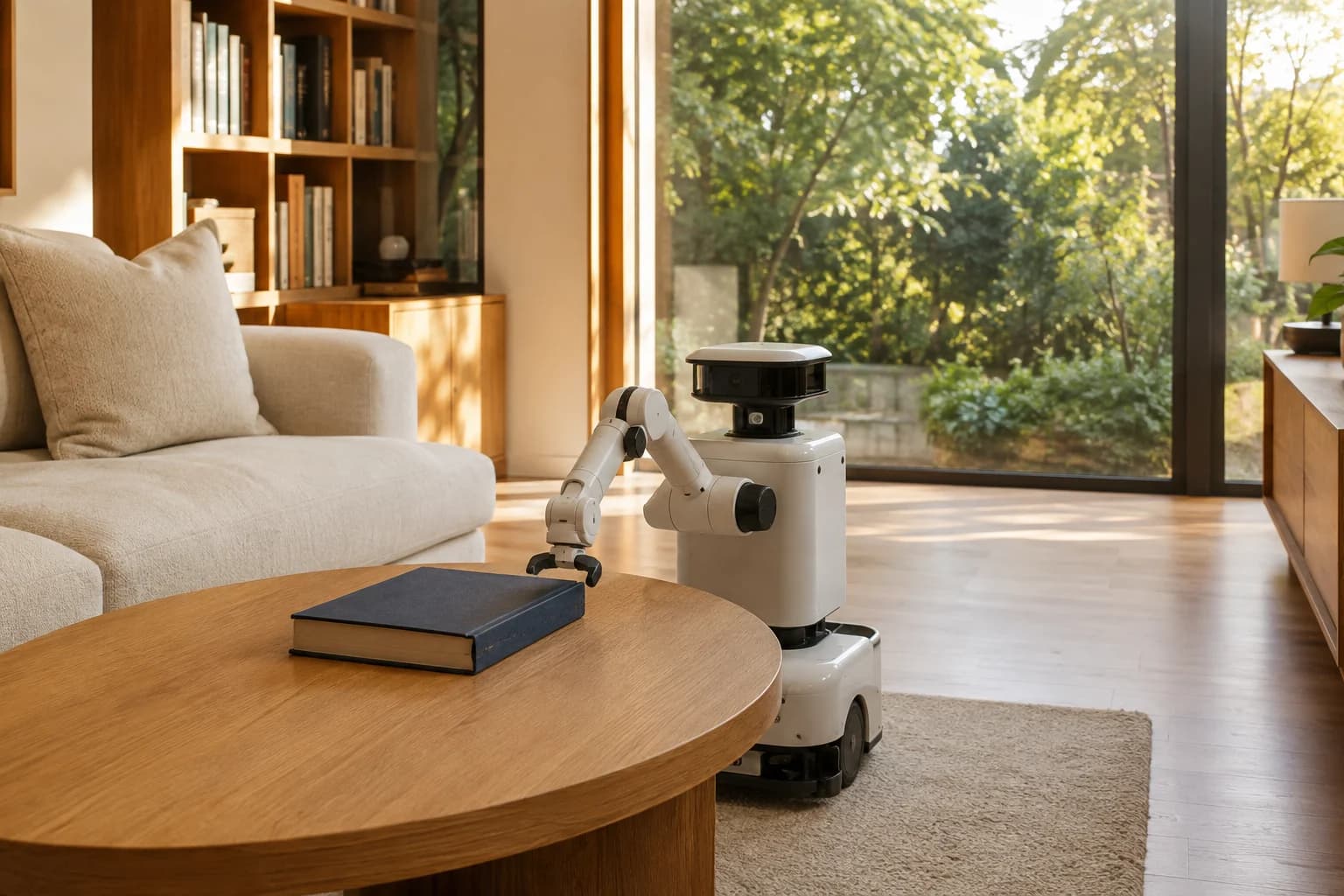
A home robot could use a P3DF twin to identify the book’s last recorded location and plan a search.
An illustrative agent workflow. Camera integrations and live cloud context are in development. P3DF supplies context; the robot supplies perception, planning and action.
The proposed Model Context Protocol (MCP) interface will let AI agents retrieve spatial information, locate assets and query recorded observations and telemetry.
Read the MCP integration plan Claude
 ChatGPT
The draft uses GLB, Arrow and Parquet. Proposed bridges to IFC, OpenUSD and AAS will preserve existing domain models. These bridges are not yet certified.
Review interoperabilityCIFR invites robotics, smart-home and building technology teams to contribute implementations and technical review.
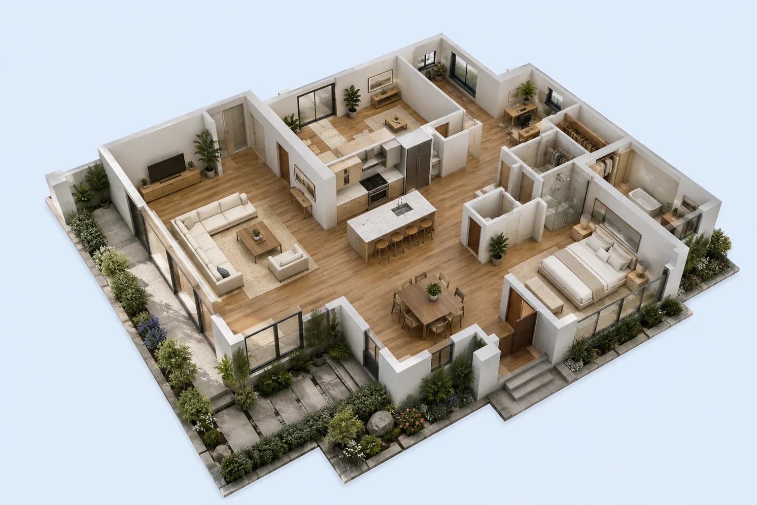
Inspect spaces, objects and telemetry. Illustrative data; no account required.
Created by the Council for Independent Frontier Research, a non-profit organisation. Formal standardization is a future objective.
P3DF (Portable 3D Format) is an evolving open standard for digital twins in the AI agentic age. It combines spatial geometry, asset relationships, navigation and recorded telemetry in a portable package. The upcoming public release will use Apache License 2.0.
A proposed Model Context Protocol (MCP) integration will expose digital-twin queries to Claude, ChatGPT and other MCP clients. Proposed operations include finding assets, retrieving observations and querying telemetry. No public P3DF MCP server or verified client integration is available yet.
An exported .p3df file is a point-in-time reference. The proposed cloud platform uses the same spatial model as a database linking camera observations, time series and spatial information. Live cloud services and camera integrations are in development.
P3DF is designed to complement existing standards. The draft uses GLB, Arrow and Parquet. Bridges to IFC, OpenUSD and Asset Administration Shell (AAS) are proposed and have not been certified.
The architecture overview and illustrative Creator browser preview are available. Native Creator apps, example .p3df packages and the public Apache-2.0 repository are coming soon. P3DF is evolving and has not been formally adopted by a standards body.